
Murrieta ZIP Code Directory Coverage
Murrieta’s two principal ZIP codes are 92562 and 92563. Their broad areas are useful for sorting a resident-directory question, but only USPS can settle a delivery address. The post office label “Murrieta” can extend beyond incorporated limits, and a city address can carry a postal boundary that does not line up with a district or parcel jurisdiction.
Note: USPS routing geography should be stored with the lookup date when an address is new or near a boundary.
| ZIP | General areas covered | Post-office check | Notes |
|---|---|---|---|
| 92562 | Western and central Murrieta, historic downtown, and west-side communities | USPS city/state or address lookup | Town Square, City Hall, and the library use this postal area; it is not the city line |
| 92563 | Eastern Murrieta, Murrieta Hot Springs, and east-side development | USPS address lookup | Southwest Justice Center uses this ZIP; postal geography may extend beyond incorporation |
The USPS Murrieta Post Office is listed at 24930 Washington Avenue, 92562-9998, with telephone 951-304-2529. The 92563 carrier facility is listed at 39571 Los Alamos Road. These facilities explain routing, not the location of a resident.
Note: A ZIP result identifies delivery routing, not city incorporation, property ownership, or a resident alone.
Murrieta ZIP Code 92562: West and Center
The 92562 postal area covers the western and central side of Murrieta in the city’s broad postal description. Historic downtown, Washington Avenue, and Town Square are useful local orientation points. City Hall and Murrieta Public Library sit at Town Square, but a postal match to 92562 does not by itself prove that an address is inside the incorporated city.
For a resident-directory question, use 92562 as a first sort only. Verify the exact address with USPS, then use Murrieta Interactive Mapping to check city limits. If the question turns to ownership, carry the verified street address to Riverside Assessor Online Services and record the APN. If the question turns to a past household, keep the ZIP beside the historical address rather than using it as the historical geography.
Postal boundaries are operational routes. A postal label can remain stable while annexed territory, districts, or development boundaries change.
Murrieta ZIP Code 92563: East and Auld
The 92563 postal area generally serves eastern Murrieta, Murrieta Hot Springs, and newer east-side development. The Southwest Justice Center at 30755-D Auld Road uses 92563, making the ZIP a useful courthouse orientation clue. It does not make every address with the label part of the city or every person at the address a court participant.
Use the same order here: USPS address check, city mapping check, parcel lookup, and then the record keeper that fits the question. A 92563 name search still needs a name variant and an independent anchor. A 92563 address search still needs an APN before the recorder can be searched effectively.
No official source in the research established a PO-box-only ZIP, unique institutional ZIP, dated split, or precise neighborhood polygon for Murrieta. Do not infer one from a commercial map.
Test a Murrieta ZIP Code
USPS offers three useful modes: By Address, By City & State, and Cities by ZIP. A ZIP directory summary can tell you what to expect, but the address tool is the controlling check for a delivery point. USPS also warns that a ZIP result does not establish that a person or business receives mail there.
Use the USPS city and state ZIP lookup when comparing the two Murrieta postal areas, or use the USPS ZIP Lookup Tool for a specific address.
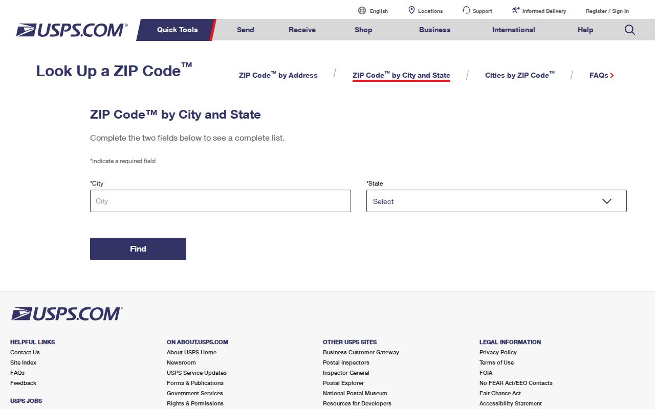
The USPS lookup image shows a postal search surface, not a public resident index. Once a ZIP is confirmed, use the city map and the appropriate county or state record system.
| USPS mode | Best use in a Murrieta ZIP search |
|---|---|
| By Address | Settle the ZIP attached to one delivery address. |
| By City & State | Compare the postal city and principal ZIP codes. |
| Cities by ZIP | Review the postal places associated with a ZIP. |
Postal results can change as routes and delivery assignments are maintained. Keep the lookup date with the address, especially when a parcel is new or near an incorporated boundary.
Finding Murrieta Residents by ZIP Code
A ZIP can narrow a current search, but the available portals do not all accept ZIP as a resident filter. California My Voter Status is a self-lookup, not a ZIP-wide roll. The assessor accepts address or APN and hides ownership online. The recorder is name-indexed. Court searches use party or case details. Business, license, obituary, and archival systems each have their own fields.
- Verify the address and ZIP with USPS, keeping the full street line and any unit information.
- Use Murrieta mapping to decide whether the postal address is inside the city, in county territory, or near an annexation seam.
- Search the assessor by address, note the APN, and obtain ownership at the county office if that is the question.
- Move from the APN to permits, deeds, GIS parcels, or a lawful court or business search as appropriate.
- For a historical question, carry the old address and date to census, library, newspaper, and deed sources instead of assuming today’s ZIP existed then.
When a ZIP narrows to one street, continue with the address chain on the Murrieta street directory page. Street-level records have different limits than postal routing.
Murrieta ZIP Code Boundaries and City Limits
ZIP codes are mail routes. City limits are legal boundaries. Census ZCTAs are statistical approximations. These three geographies can disagree around Murrieta, especially where postal city labels, annexed territory, and district lines meet. Murrieta Interactive Mapping is the place to verify incorporation, zoning, land use, circulation, development activity, and residential or non-residential map layers.
- ZIP code
- A USPS routing area used to sort and deliver mail.
- ZIP+4
- An extended postal code that adds delivery detail; it does not create a city boundary.
- PO-box ZIP
- A postal identifier for boxes or a facility, not proof of a residence or parcel.
- Unique ZIP
- A code assigned to a particular organization or special delivery pattern, when USPS confirms one.
- Carrier route
- A delivery path inside postal operations, not a public neighborhood roster.
The map should settle a city-limit question, while USPS should settle a delivery question. Use neither one to infer who lives at an address.
Note: ZCTAs help statistical comparison but do not replace the USPS answer for a delivery address.
Murrieta Address Labels: ZIP and APN
Four labels often travel together in a Murrieta property search. The APN identifies the tax parcel and is effectively nine digits for the county search. The situs is the physical property address. The mailing address is where the owner’s tax correspondence goes. The ZIP routes mail. A legal description identifies the lot, block, subdivision, or boundary in a deed.
The labels answer different questions. A ZIP can help sort a list of addresses. The APN connects the assessor, GIS, permits, and recorder chain. The legal description is the durable continuity clue when a road name, mailing label, or subdivision phase changes. The mailing address may be outside the parcel and does not prove occupancy.
| Label | Best use | What it does not prove |
|---|---|---|
| ZIP | Postal routing and broad area sort | City incorporation or residence |
| APN | Linking parcel, GIS, permits, and deeds | Who occupies the parcel |
| Situs | Physical location of the property | Who receives mail or lives there |
| Mailing address | Tax-notice destination | Current physical presence |
| Legal description | Deed-chain continuity | A household roster |
Murrieta Addressing and New Streets
Murrieta’s addressing application requires a signed application, a fee, and three approved tract or parcel maps at least 11 by 14 inches marked with proposed streets and three candidate names for each street. Names should share a theme, and the city assigns suffixes and rejects duplicates. Address assignments use three recorded tract, parcel, or plotting plans at least 11 by 17 inches, street names, and proposed sign locations.
Staff circulates a draft before final building or house assignments. The stated ordinary time is within 30 days, depending on project size. The Murrieta addressing and street-names application is the source for the map and naming requirements.
This process matters to a postal directory because a new street can receive a postal label before every map, permit index, or historical source catches up. Keep the tract, parcel, APN, and legal description beside the new address.
Murrieta ZIP Geography After Annexation
Murrieta’s General Plan work and redistricting materials describe annexed territory and land-use changes. A city or district boundary can change without the ZIP changing at the same time. That is the geography reason a Murrieta ZIP code directory cannot answer a jurisdiction question on its own.
For a current address, check USPS for the postal route, Murrieta mapping for incorporation, Riverside GIS for parcel and district layers, and the relevant city or county office for the record. For an older address, compare GLO and USGS maps, subdivision maps, and deeds. No verified official citywide street-renumbering event was found, so an old address change needs documentary support.
The research also found no official dated ZIP split or realignment, no confirmed PO-box-only ZIP, and no precise neighborhood polygons that should be copied into a directory. A commercial map may draw a neat line, but the safer method is to ask USPS about the delivery point and the city map about incorporation. If those answers differ, report both instead of forcing one geography to stand in for the other.
That distinction matters for civic, family, and parcel research. A ZIP can group addresses for a first pass. The custodian of the record decides whether the address belongs to a city permit file, a county parcel, a district, or a state system.
Boundary check. A ZIP sorts mail. A city map establishes incorporation. An APN establishes the parcel. Use all three only when the question truly needs all three.
The result is a more reliable postal directory search and a cleaner handoff to parcel or street records.
Note: No verified Murrieta ZIP split or realignment was found in the research record or official maps.