
Looking Up Murrieta Neighbors
A block search has a smaller radius and a clearer evidence chain than a whole-street directory. Start with the subject parcel, click the polygons that touch it, and record each APN before asking an office for a name. The table shows what each local source contributes to a neighbor lookup.
| Source | What it shows about a block | Access and limit |
|---|---|---|
| Riverside County GIS | Parcel shapes, APNs, addresses, nearby districts and active map layers | Free viewer; informational map, not an owner list |
| Riverside assessor | Assessment parcel and owner or mailing information at the office | Address online; owner name suppressed online |
| Riverside recorder | Deeds, liens, releases, and named title parties | Name-indexed; online recorder era begins in 1974 |
| Murrieta permit reports | Nearby work, APN, contractor, project type, value, and date | Monthly PDFs; detail through OnBase or request |
| Voter file | Nearby registration data only for a qualified statutory purpose | Not a public block directory |
| City Resource Directory | Public civic, service, and organization contacts | Contact layer, not a member roster |
A source can place a parcel or public organization on a block without identifying everyone who uses it. Neighbor research is strongest when the question remains as narrow as the record.
Note: Adjacent parcels define the block method, but they do not define a neighbor’s household alone.
Murrieta Neighbors: Click Parcels
Map My County is the practical block browser. Search or zoom to the known address, make sure the parcel layer is active, use Identify on the subject polygon, and then click bordering polygons. Record each APN, situs label, district layer, and map date. Pan along both sides of the block. Use measure or select tools only when the viewer exposes them; do not claim a radius report that the interface does not provide.
- Verify the subject address and ZIP, then locate the parcel in the county GIS viewer.
- Confirm the parcel layer and identify the subject APN.
- Click the parcels that share a boundary or face the same block segment.
- Carry the APNs to Riverside Assessor Online Services and the assessor office when ownership is the question.
- Use permits, deeds, or public community contacts for the next narrow question, keeping each parcel separate.
The Riverside Map My County viewer is the source for this adjacent-parcel method. Murrieta’s city mapping page checks city limits, zoning, land use, circulation, and development activity.
The GIS layer gives the block its shape. It does not create a list of nearby occupants.
Note: Record each APN before requesting names so nearby parcels do not merge in the research notes.
Murrieta Neighbor Lookup Starts with APNs
An APN is the cleanest handoff from a map to a county record. Write down the nine-digit search form, the situs, the subdivision clue, and the legal-description reference for each adjacent parcel. This prevents a similar street number or a shared postal label from merging two different parcels.
Riverside Assessor Online Services accepts APN, PIN, or property address, but owner identities are not displayed online. The public office can identify ownership from an address or parcel under the county’s Revenue and Taxation Code section 408 explanation. A mailing address may differ from the situs and may not identify a person at the block.
When the owner name is available, search the ACR recorder by name, recording date, and document type. Deeds and liens are name-indexed, so the APN and legal description are the continuity checks. The full street-by-street chain belongs on the Murrieta street directory page; a neighbor lookup should stay focused on the adjacent parcels.
Murrieta Neighbor Records at the Assessor
The online assessor result is intentionally limited. It can supply APN, situs, assessed values, tax-rate area, property characteristics, and legal clues. It does not display the owner. The nearest full ACR counter is 41002 County Center Drive, Suite 230, Temecula, with weekday service from 8 a.m. to 4:30 p.m. and telephone 951-955-6200.
Use the Riverside property search for the parcel first. Then bring the address or APN to the office. The county FAQ’s owner explanation is a useful reference because it prevents an online absence from being mistaken for a missing owner.
A parcel owner is not the same as every neighbor. The roll can identify title or mailing information. It cannot provide utility customers, delivery data, private association members, or every occupant.
Murrieta Neighbor Permit Activity
Murrieta monthly permit activity reports are a useful block-level time series. A typical 2026 row can show permit type and number, full site address and ZIP, category, stated valuation, square footage, issue date, nine-digit APN, and contractor. Scan both sides of a block by address or APN to see when construction activity occurred and which public business was involved.
Permit activity documents work, not people. The city’s OnBase Public Access Viewer is the first search stop; missing records move to the City Clerk Records Request page. A request should state address, APN, date range, permit or project number, record type, department, and desired format. Choose Other/Unknown when several departments may hold the record.
The Murrieta permit activity index supplies the monthly address evidence, while the OnBase records search supports full-text and keyword modes, date ranges, wildcards, exact phrases, Boolean terms, Soundex, fuzzy matching, and proximity syntax.
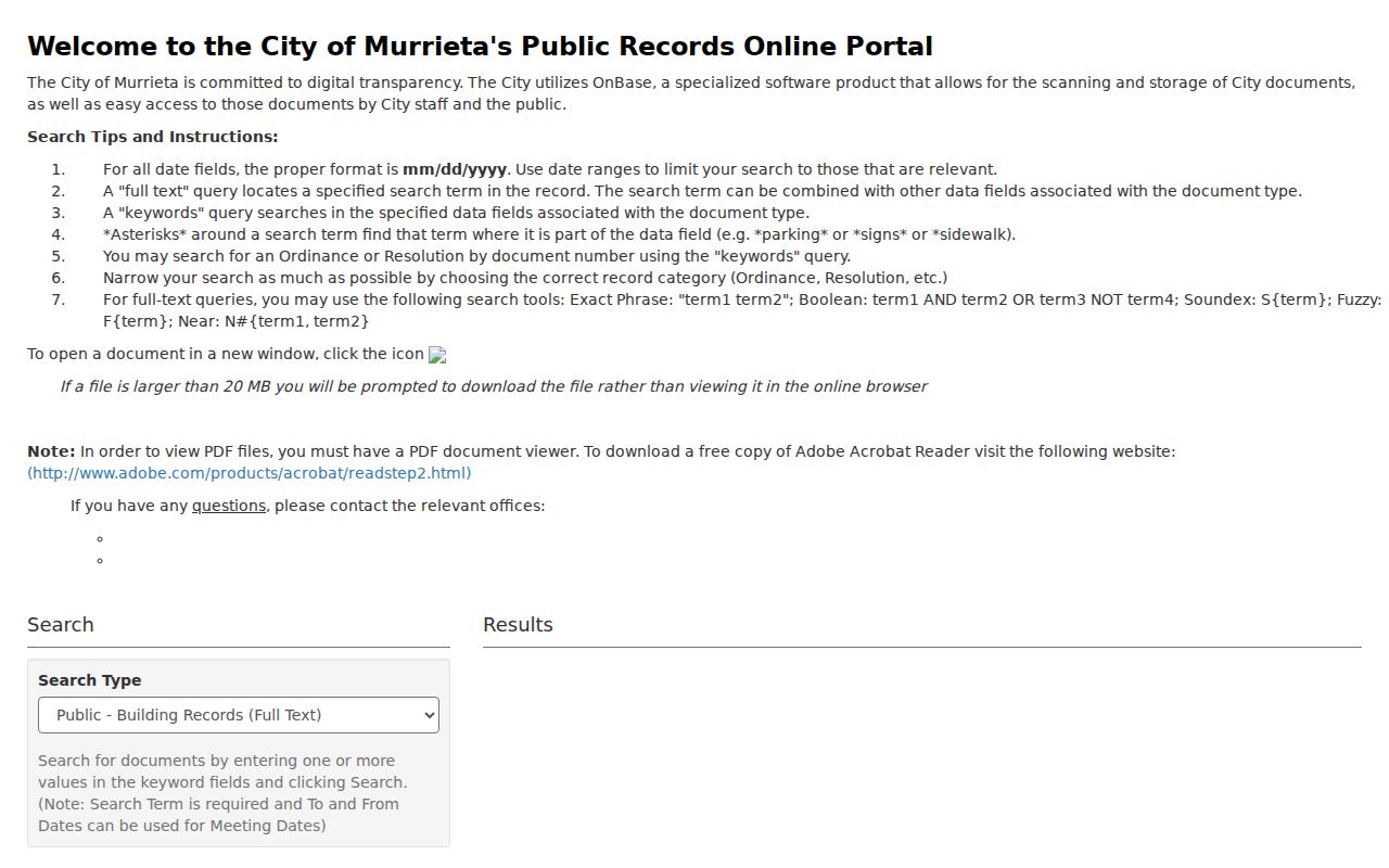
The OnBase image shows the search-first route. A public hit can be opened with its image icon; large files may prompt a download. Request the underlying record only when the index does not answer the block question.
For police or traffic-collision material, Murrieta Police Records uses the city request route and may require a report number, incident date and location, involved-party identity, and authorization. Juvenile, victim, witness, medical, and active-investigation details may be withheld or redacted.
The Murrieta police records request page capture shows why a nearby incident record is a controlled access route, not a general neighbor list.
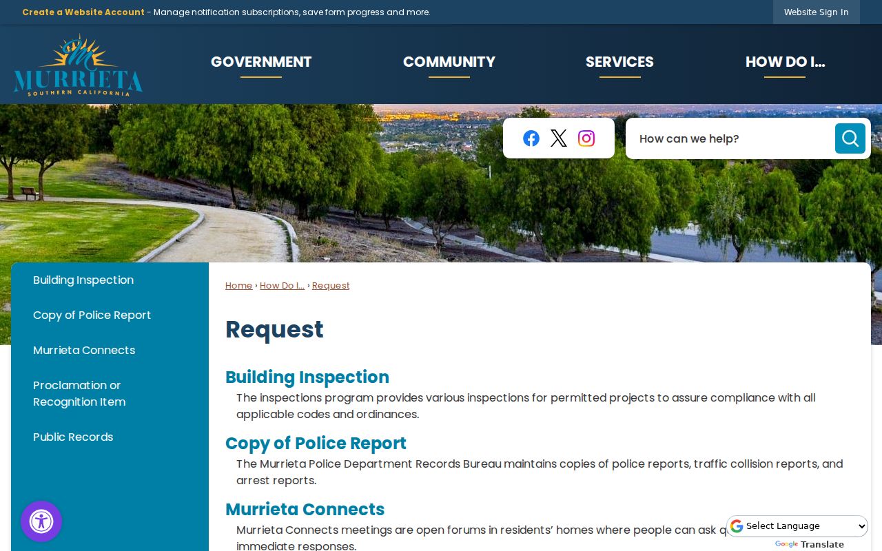
Permit and police material add a public event or project to a block history. They do not establish who lives there.
Murrieta Community Records and Contacts
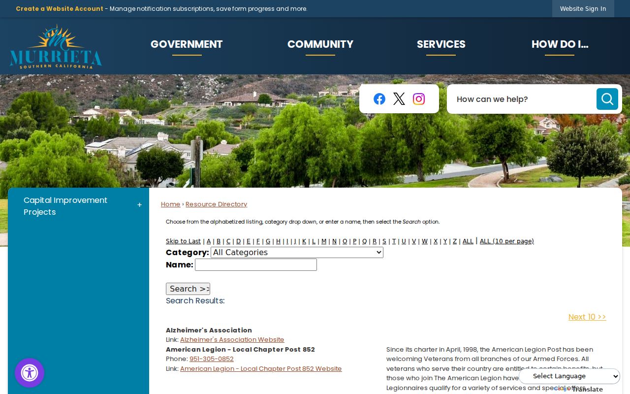
The City of Murrieta Resource Directory is a public contact layer. Its current listing has an alphabet index, Category selector, and Name field, with 86 resources observed in the research crawl. It can locate a civic or service organization near a block, but it is not an HOA membership roll or a directory of private households.
| Public contact | What it can contribute | Boundary |
|---|---|---|
| Murrieta Resource Directory | Organization name, category, and public contact route | No private member list verified |
| Murrieta Valley Historical Society | Local-history context, artifacts, photographs, and research leads | Collections are not comprehensively online |
| American Legion Post 852 | Public organization and historical-program lead; charter dated April 1998 | Membership rosters require permission |
The Murrieta Resource Directory image shows the category and name browse. The result can help locate a community contact without turning the organization into a resident source.
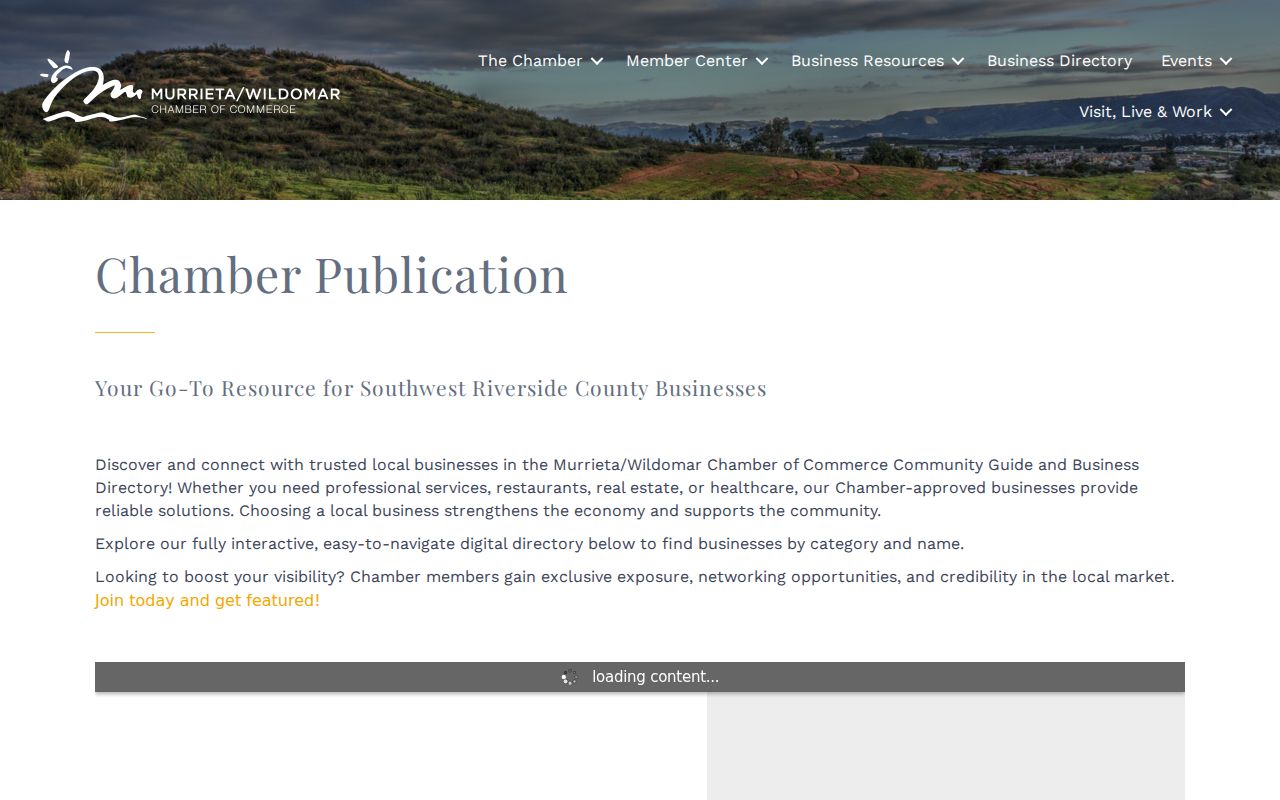
The Murrieta-Wildomar Chamber Community Guide and Business Directory adds public member categories and business contacts. A listed principal or service address is an affiliation, not proof of a home.
Ask an association only for public management or contact details unless its governing documents provide another lawful access route.
Note: A public organization contact is not permission to obtain private organization membership information or rosters.
Murrieta Neighbor Block History
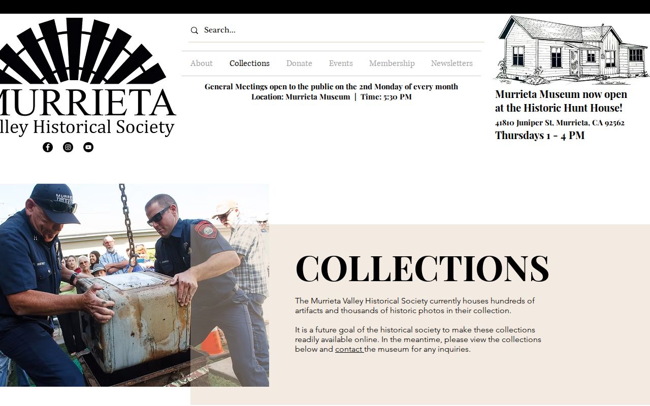
A neighbor question can be historical without becoming a name search. Murrieta Valley Historical Society collections cover the Hot Springs, schools, military residents, cityhood, fire department, ranching, farming equipment, geology, and household objects. The museum is at historic Hunt House, 41810 Juniper Street, with published Thursday hours from 1 to 4 and private tours.
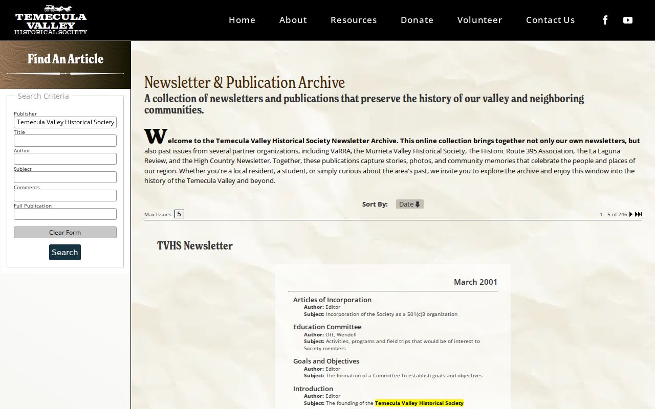
The regional publication index at TemeculaHistory searches Publisher, Title, Author, Subject, Comments, and Full Publication across 246 visible issues. It includes Murrieta Valley Historical Society, High Country, Historic Route 395, and La Laguna Review. A publication hit can place a person or organization in a local story, but it is not an official block roster.
The Historical Society collections image illustrates the local-history route for a block whose current parcels have changed.
The regional publication index image shows a way to search an article layer without pretending it is a resident database.
Send a repository a full name, date range, street, school, business, or organization and ask for the exact collection title and citation.
Murrieta Voter Records and Neighbor Limits
California My Voter Status is a private self-verification form. It asks for a voter’s identifying details and returns that voter’s registration status and election information. It does not let a person browse the neighbors on a street. Riverside County Registrar records also remain subject to Elections Code section 2194.
A permitted voter-file request must state the statutory purpose, requester and organization, geography, data need, security and privacy promise, fee, and intended use. A released file can include addresses, status, precinct, party preference, registration date, and participation history, but never ballot choices. Safe at Home participants and other protected records require suppression.
Historical poll books or registers should be requested from the California State Archives, county archives, or a local history repository by series and year. They should not be reconstructed from a commercial neighbor tool.
Note: Elections Code section 2194 limits voter records even when the address lies inside a clearly mapped block.
Murrieta Official Sources Versus Neighbors
Commercial neighbor products may blend parcel data, marketing files, and inferred associates. They can help generate a lead, but their “household” labels may be stale or based on an unverified association. Official sources have a custodian and a defined record scope.
| Need | Official route | Clue limitation |
|---|---|---|
| Adjacent parcel | County GIS and APN | Map geometry does not identify an occupant. |
| Owner | Assessor office and recorded documents | Owner may live elsewhere. |
| Block project | Murrieta permit reports and City Clerk request | Project data does not name every person involved. |
| Community contact | City Resource Directory or public organization page | Contact list is not a membership roster. |
When a clue matters, return to the named custodian. Keep the original parcel, date, record type, and source URL in the note.
Privacy Limits on Murrieta Neighbors
A block map cannot reveal utility customers, delivery data, DMV addresses, protected Safe at Home locations, private association members, or every person who enters a parcel. A deed identifies recorded parties. A permit identifies work. A civic directory identifies a public contact. None is a complete list of neighbors.
California’s confidentiality rules matter when a search seems incomplete. Voter data is purpose-restricted. Court files can be sealed or confidential. City records can redact juvenile, victim, medical, witness, and active-investigation material. Recorded instruments have statute-specific correction or redaction routes; a person cannot simply demand that a historical deed disappear.
Lawful block research. Use Murrieta parcel, civic, and public-record sources for personal and lawful purposes. Do not use neighbor information to stalk, harass, intimidate, impersonate, or harm another person.
Stop when the source’s scope ends. A careful neighbor lookup can describe adjacent parcels and public organizations without turning a map into a claim about private lives.